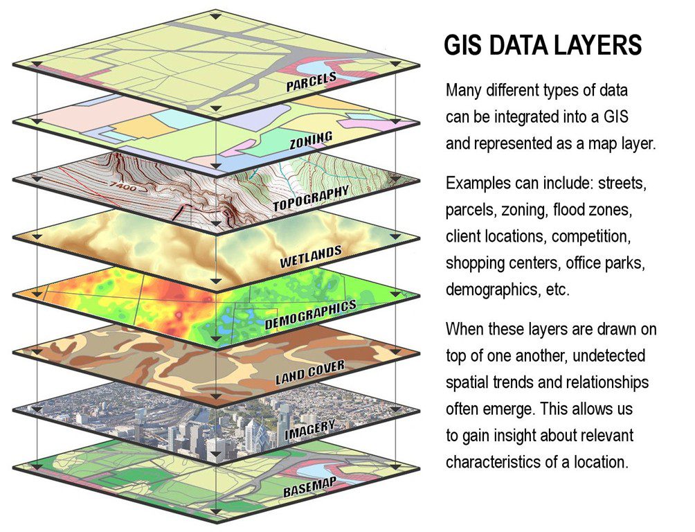
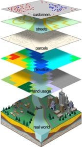
Geographic Information System (GIS)


City of Bartlesville map links
Individuals may click on the interactive Maps link and view: GIS City Maps Website.

Instructions for web-map tools:
picture based instructions (pdf)
Want to export a map image the easiest way, see How To Select&print-screen images.

QRcodeReader – CityMaps Bartlesville

![]()
Washington County Assessors
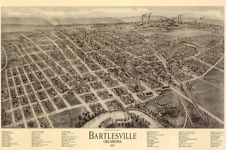
Printable maps:
In the list below, there are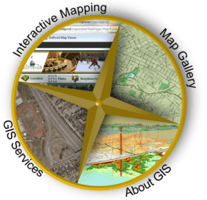
Basic street maps (printable versions):
Bartlesville Downtown Aerial Imagery
Bartlesville Street Map with Aerial Photo
Bartlesville Street Map Wall Size
Bartlesville Street Map Index Wall Size
Bartlesville Basic Street Map Large Font
Streets – 36x28wallmap (7mb) – with address ranges
- Trail System Interactive map for Pathfinder Parkway
- Hudson Lake Map (4kb)
- Dewey_map&index
- Bartlesville Municipal Codes
- FireZones-36x28wallmap (7mb)
- Fire hydrant

- Streets with Stormdrain-36x28wall (10mb)
- Floodplain 34×22
- 16 Routes: Trash Route Map
- Trash Routes: Bartelsville Sanitation Booklet
- Pipeline Awareness Viewer
- Wards: 5 areas
- population and precipitation
- Street-index 1pg.
Do you want to purchase a, printed, wall map (or smaller), also digital data layer files? engineering-copy_gis-fees